Step 2. Understand the difference between true north and magnetic north. Magnetic compasses don't point to the north pole, but rather to a spot about 500 miles distant, a fact surveyors take into account when determining true north. Everybody gets this. What they may not get is that compensating requires constant adjustment as you move around.
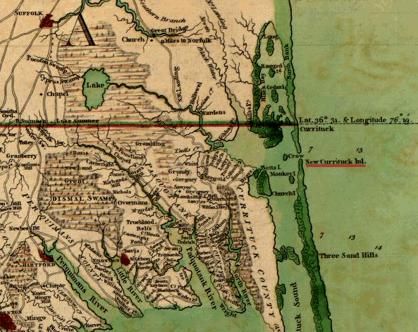
This subtlety was lost on some early surveyors. The knuckleheads who laid out most of the Virginia-North Carolina-Kentucky-Tennessee border didn't realize they needed to adjust their adjustments, so as they headed west, the boundary curved north. The surveyors who handled the western end of the border, working east from the Mississippi, covered less ground and so had less chance to screw things up. Where the two lines meet, at the Tennessee River, there's a 12-mile jog still conspicuous on maps.
(via Geekpress)
...
At various points since the early 19th century, Georgia has disputed its northern border with Tennessee, thereby denying Georgia its historical riparian and navigation rights to the waters of the Tennessee River. In 1796, when Tennessee was admitted to the Union, the border was originally defined by United States Congress as located on the 35th parallel, thereby ensuring that at least a portion of the river would be located within Georgia. As a result of an erroneously conducted survey in 1818 (ratified by the Tennessee legislature but not Georgia), however, the actual border line was set on the ground approximately one mile south, thus placing the disputed portion of the river entirely in Tennessee.[5][6]
Georgia made several unsuccessful attempts to correct what Georgia felt was an erroneous survey line 'in the 1890s, 1905, 1915, 1922, 1941, 1947 and 1971 to "resolve" the dispute', according to C. Crews Townsend, Joseph McCoin, Robert F. Parsley, Alison Martin and Zachary H. Greene, writing for the Tennessee Bar Journal, a publication of the Tennessee Bar Association, appearing on May 12, 2008.
(via Wikipedia)
http://www.virginiaplaces.org/boundaries/ncboundary.html


No comments:
Post a Comment